Every cubic metre, on the record.

Turn the surfaces you already survey into volumes you can defend: datum-checked, reviewed by a named engineer, and sealed with a hash anyone can re-verify.

Three instruments, one record

Each answers part of the question. CoastLens proves the answer.

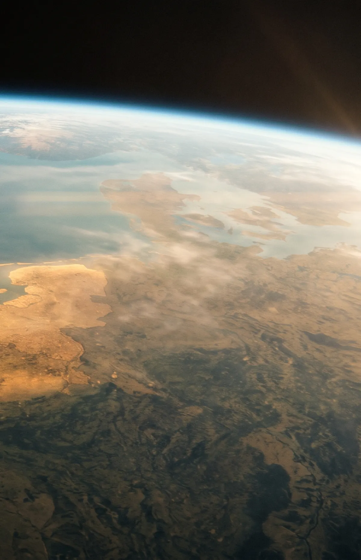
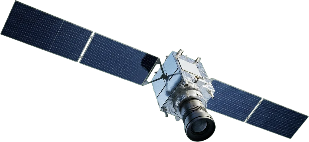
01Satellite

Sees the whole coast. Can’t settle a volume.

Solves
Spotting erosion across kilometres, so you know where to survey next.
Limit
A pixel is about 10 m wide. Contracts are paid in cubic metres.

In CoastLensSatellite rasters are kept beside the survey as fingerprinted evidence.

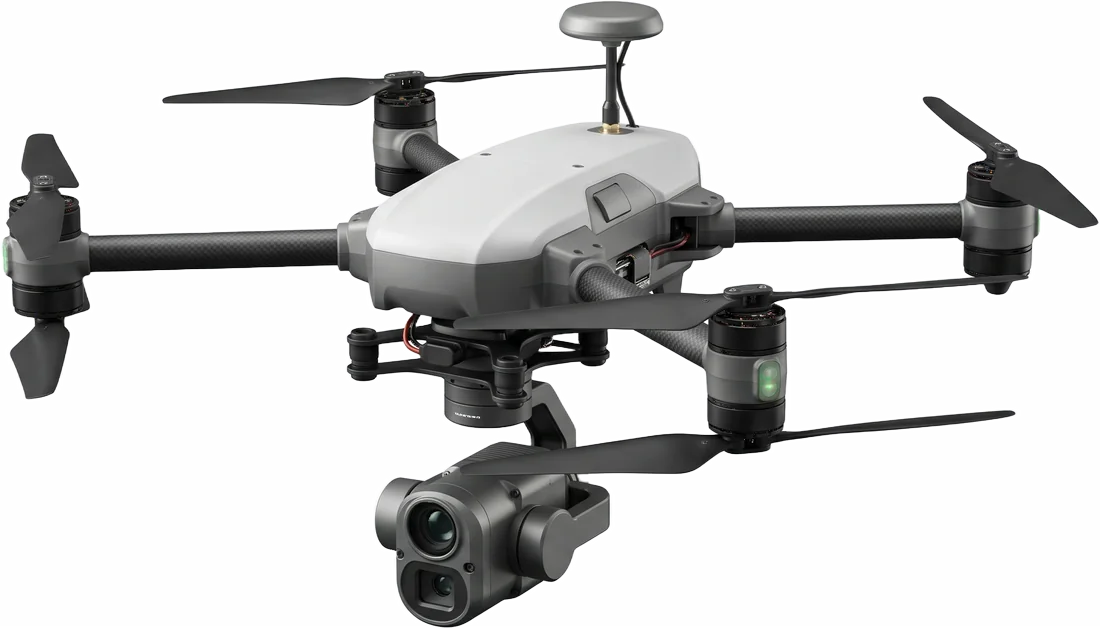
02Drone survey

Measures the beach to the centimetre. Can still be wrong.

Solves
A measured 3D surface of the beach, campaign after campaign.
Limit
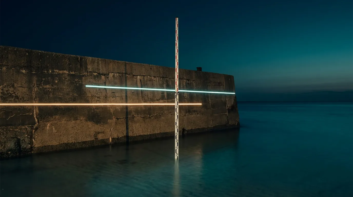
Two surveys in different datums subtract into a confident, wrong number.

In CoastLensDatum-checked ΔV with a tolerance band. Mismatches are refused.

03AI & computer vision

Flags what to look at. Doesn’t get the last word.

Solves
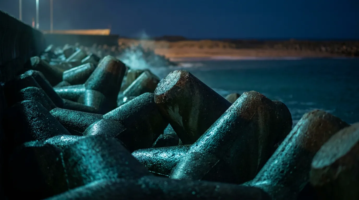
Surfaces candidate cracks or displaced armour units across thousands of photos.
Limit
A candidate is not a finding, and a model must never write a volume.

In CoastLensEvery candidate waits for a named reviewer. AI drafts wording, never numbers.

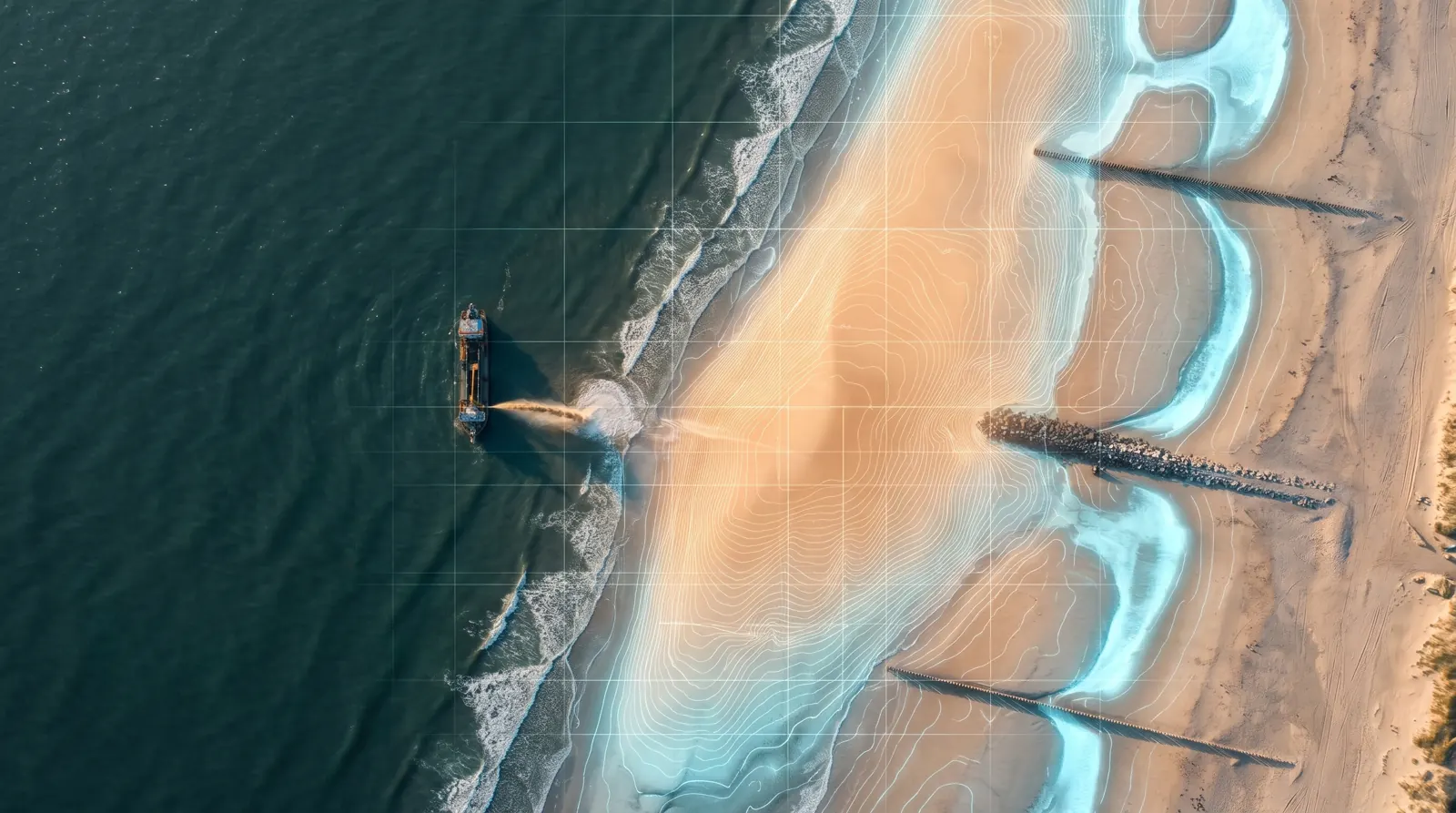
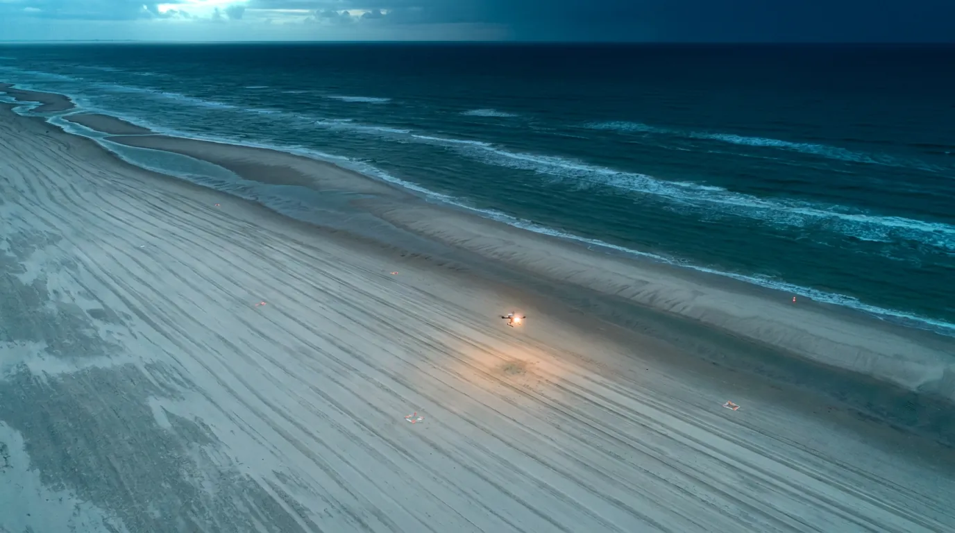
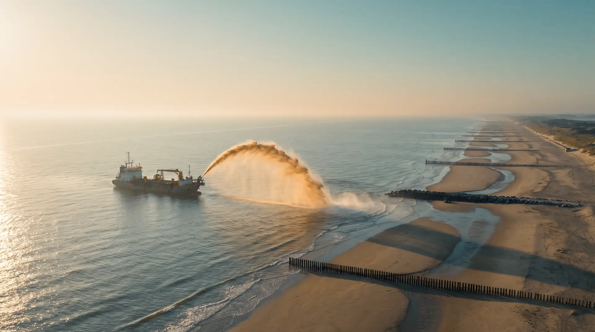
A survey drone over a nourished beach at blue hour.
Corrected ΔV · demo site +10,467.2 m³ ± 19.5 m³ · matches the analytic volume ✓

Proof

One number, fully accounted for.

A synthetic site with a known answer, so the arithmetic can be checked to the decimal.

  1. Two surveys inTAW · sha256 9c1e…4b20
  2. Checks passeddatum · grid · coverage
  3. Finding confirmedby a different reviewer
  4. Report sealedhash a3f9…07c1

The boundary

An audit layer,
not a black box.

CoastLens is

  • Deterministic arithmetic, shown as arithmetic
  • A tolerance band propagated from your inputs, computed and not asserted
  • A clear line between computed and AI-assisted text
  • A tamper-evident record a third party can re-check

CoastLens is not

  • Photogrammetry: bring the surface, not the photos
  • Satellite shoreline extraction
  • A certification service
  • An accuracy claim it has not measured on field data

Who it is for

For the people who have to
answer for the number.

Dredging & marine contractors

Close out on evidence.

Reconcile placed against surveyed volumes per campaign, and settle a contract with a record instead of an assertion.

Port & coastal authorities

A history that outlives staff turnover.

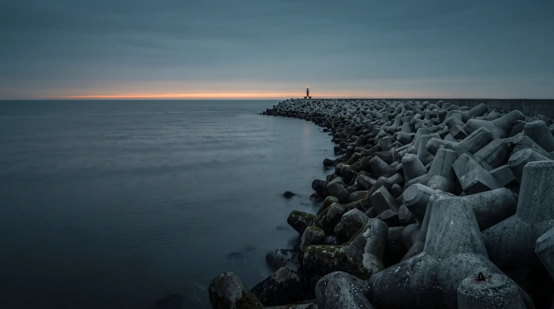
Track caisson, quay and breakwater condition across inspection cycles, every finding signed by a named reviewer.

Engineering consultancies

Verify, counter-sign, defend.

Re-run a contractor’s claim on the same data and defend the result to a client or a regulator.

Questions

Answered plainly.

Where we do not know something, we say so. An honest limit is more useful than a confident claim you later have to defend.

01What it does

What exactly does CoastLens compute?

The volume change in cubic metres between two survey epochs over an area you define, with an optional control zone that removes systematic vertical bias, plus cross-shore transect profiles and foreshore slope. Structural findings are recorded and reported only after a named reviewer confirms each one.

What do I need to bring?

Two gridded elevation models of the same area with their vertical datum stated, the polygon you want measured and, ideally, a stable control zone. Point clouds, orthophotos and survey reports can be attached as supporting evidence.

Which file formats can I upload?

Volumes are computed from ESRI ASCII elevation grids. GeoTIFF/COG, LAS/LAZ point clouds, JPEG/PNG imagery, CSV and PDF are accepted, fingerprinted and kept as evidence. Every file is validated on upload and refused with a specific reason rather than half-processed.

Does it turn drone photographs into a 3D model?

No. Photogrammetry is a specialist pipeline and we do not pretend to run it. You bring the measured surface from your existing reconstruction tool; CoastLens makes every number after it auditable.

Can I compare a survey in TAW with one in NAP?

Not directly, and deliberately so. The computation stops with an explicit refusal, because a silent datum mismatch produces a plausible but wrong volume. Convert both surveys to one datum, state the conversion, and the comparison proceeds.

02Accuracy & AI

How accurate is it?

We do not publish a headline accuracy figure, because none has been measured on real survey data. What we can say precisely: the arithmetic recovers a known volume on a synthetic site to the decimal, and every result carries a tolerance band propagated from the uncertainty of the surfaces you supplied.

Does it agree with Pix4D or Agisoft?

That is a sensible acceptance test, and we will not claim a percentage until it has been run on a real dataset with an independently computed volume. You can run the same comparison on your own data.

Does an AI compute the volumes?

No. Code computes every metre, cubic metre, area and tolerance. A language model may draft the method statement of a report; every figure in that draft is checked against the analysis, and one invented number replaces the whole draft with a fixed template. The report says which of the two wrote it.

How does a third party verify a report?

A signed report carries a content hash. Anyone holding it can recompute the hash and compare. The evidence chain behind it is append-only, so an earlier entry cannot change without breaking every later hash.

Does a CoastLens report shift responsibility?

No. CoastLens documents what was measured, how, and by whom. The professional judgement, and the responsibility for it, stays with the engineer who signs.

03Data & billing

Where does my data live and who can see it?

Your surfaces and records belong to your organisation and are visible only to its members, in the roles you assign. Access is checked on the server on every request, never in the browser.

Do you use my data to train models?

Not without your explicit, written permission, and never in a way that exposes your site or your client to anyone else.

What happens to my data if we stop paying?

A regulatory record should not disappear because a subscription lapsed. You keep read and export access to existing measurements for a stated period; the exact retention window will be published before it applies.

How is usage billed?

Pay as you go through the Sensifai Marketplace, per completed volume analysis. A refused analysis is not billed. Your wallet balance is shown on the dashboard.

Put your next survey
on the record.

Load the demo site and follow one number from raw surface to signed report.